Orientation
Where Mountain Island Lake is
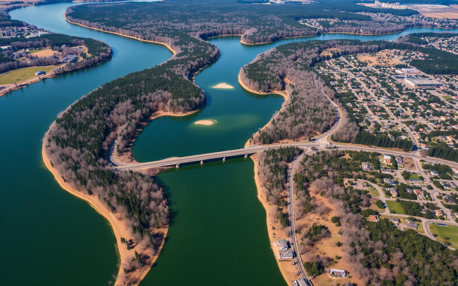
A narrow Catawba River reservoir between Lake Norman and Lake Wylie, roughly a dozen miles northwest of uptown Charlotte, touching three counties.
Mountain Island Lake is the middle link in a chain. Water leaves Lake Norman through Cowans Ford Dam, travels the lake, and exits at Mountain Island Dam toward Lake Wylie. That geometry explains almost everything about the place: it is long and narrow rather than broad, the current is real, and the level is managed rather than natural.
It is also the primary drinking-water source for a large share of the Charlotte region, which is why the shoreline is wooded and undeveloped in stretches where a comparable lake would be lined with restaurants.
Orientation at a glance
- What it is
- A Catawba River hydroelectric reservoir, impounded by Mountain Island Dam, which was completed in the early 1920s.
- Where it sits
- Northwest of uptown Charlotte, between Lake Norman upstream and Lake Wylie downstream.
- Counties
- Mecklenburg on the east shore, Gaston on the west, with Lincoln County at the upper end.
- Shape
- Long, narrow, and riverine — coves and peninsulas rather than open water. It is by far the smallest of the three lakes in the chain.
- Why it matters
- It supplies drinking water to Charlotte-Mecklenburg and neighboring systems, which drives the watershed rules that govern its shoreline.
- Protected shoreline
- Large stretches front county parks and nature preserve land rather than private development.
The map
Explore the lake
Select a marker to see what sits at each point — dams, access areas, parks, and the towns on either shore.
Parks & preserves
Latta Nature Preserve
1,460 protected acres on a peninsula: trails, equestrian center, and paddle access.
Reading the geography as a buyer
East shore is Mecklenburg County and Charlotte proper; west shore is Gaston County and the Mount Holly orbit; the upper end reaches into Lincoln County and the Denver/Lake Norman fringe. Those lines determine taxes, schools, and which planning office reviews your project — not just your mailing address.
Getting here
Approaches come from I-85 to the south, I-77 to the east, and NC-16 and NC-273 across the middle, with a small number of bridge crossings. There is no road that circles the lake continuously, so a five-minute trip by water can be a twenty-minute drive. Plan crossings deliberately — it is the single most common mistake newcomers make with the map.
Answers
Questions & Answers
- Where is Mountain Island Lake?
- It sits on the Catawba River northwest of uptown Charlotte, between Lake Norman upstream and Lake Wylie downstream, roughly a dozen miles from the city center. Cowans Ford Dam forms its upper boundary and Mountain Island Dam its lower one.
- Source: Mecklenburg County POLARIS 3G parcel viewer
- What counties does Mountain Island Lake touch?
- Mecklenburg County on the east shore, Gaston County on the west, and Lincoln County at the northern end. County lines determine taxes, school assignment, and which planning office reviews a project.
- Source: Gaston County GIS and property records
- Can you drive around Mountain Island Lake?
- Not continuously. There is no perimeter road and only a limited number of bridge crossings, so a short trip by water can be a much longer drive. Plan crossings deliberately — it is the most common orientation mistake newcomers make.
- Source: City of Charlotte
Keep reading
Continue the guide
The Mountain Island Lake Guide
The lake itself — 3,281 acres, 61 miles of shoreline, and how it works.
Lake Access: Ramps & Launches
Public ramps, paddle launches, and what access legally means for a property.
Mount Holly, NC
The revived mill town on the west bank and the lake's most usable main street.
Huntersville & the East Shore
Mecklenburg's preserve-heavy shoreline, CMS assignment, and the shortest commute.
More in Orientation