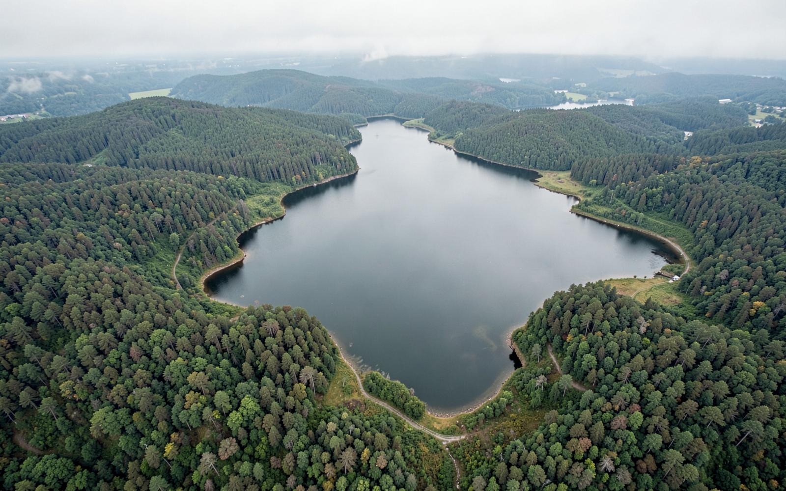
The numbers
Mountain Island Lake, by the measurements
Size, depth, elevation, origin, and ownership — the reference answers, with the reasoning behind each one.
Most questions about this lake are really questions about scale. It is the smallest of the three Catawba River reservoirs around Charlotte, and nearly everything distinctive about it — the quiet water, the thin housing inventory, the protected shoreline, the drinking-water rules — follows from that.
The reference numbers
Mountain Island Lake at a glance
- Surface area
- Approximately 3,281 acres — roughly a tenth the size of Lake Norman.
- Shoreline
- About 61 miles, much of it wooded, park land, or watershed buffer.
- Full pond elevation
- Approximately 647.5 feet above mean sea level, held in a narrow band year-round.
- Length
- Roughly 12 miles of river channel between Cowans Ford Dam and Mountain Island Dam.
- Depth
- Shallow by reservoir standards. It is deepest in the old river channel near the dam and shoals quickly in the coves and upper reaches.
- Created
- 1923, when the Mountain Island hydroelectric dam impounded the Catawba River.
- Operator
- Duke Energy, under a federal license covering the Catawba-Wateree project.
- Primary purpose
- Drinking water and hydroelectric generation — recreation is a permitted secondary use.
Is it man-made?
Yes. Mountain Island Lake is an impoundment of the Catawba River, created when the dam closed in 1923. The riverbed, the farm roads, and a mill village are still down there — the history page covers what was lost when the water came up.
Where it sits
Between Lake Norman upstream and Lake Wylie downstream, on the boundary of Mecklenburg, Gaston, and Lincoln counties, roughly 12 to 18 miles northwest of uptown Charlotte. The map and location page shows the shape of the water and the road approaches from each side.
Why the level barely moves
Because it is a drinking-water reservoir serving roughly a million people, the pool is managed inside a tight range rather than drawn down seasonally the way a storage lake is. Day to day, generation at Cowans Ford above and Mountain Island below can move the water and put current in the channel. Over a year, the elevation stays remarkably stable — one of the practical advantages of owning here, and one reason dock design differs from Lake Norman.
Water temperature
Surface temperatures follow the piedmont seasons: cold in the 40s in midwinter, climbing through spring, and warm enough for comfortable swimming from late spring into early fall. Because water is pulled through from Lake Norman, the upper lake often runs a touch cooler than the lower coves. Check a current reading rather than an average before planning a paddle or a swim.
Answers
Questions & Answers
- How big is Mountain Island Lake?
- Approximately 3,281 acres with about 61 miles of shoreline, making it the smallest of the three Catawba reservoirs around Charlotte — roughly a tenth the surface area of Lake Norman upstream.
- Source: Duke Energy — Mountain Island Lake lake services and shoreline management
- How deep is Mountain Island Lake?
- It is shallow for a reservoir. The greatest depths follow the old Catawba River channel near the dam, while the coves and upper reaches shoal quickly. Published maximums describe the channel, not the water most boaters are in, so read a current depth chart rather than a single number.
- Source: Charlotte Water — drinking water supply and source protection
- Is Mountain Island Lake man made?
- Yes. It is an impoundment of the Catawba River created in 1923 when the Mountain Island hydroelectric dam closed, flooding farmland, roads, and a mill village along the river.
- Source: Catawba Riverkeeper Foundation
- What is the water temperature of Mountain Island Lake?
- Surface temperatures follow piedmont seasons — roughly the 40s in midwinter, warming through spring, and into the 80s at the height of summer. Water pulled from Lake Norman can keep the upper lake slightly cooler than the lower coves. Check a current reading before planning a swim or a paddle.
- Source: Mecklenburg County Park & Recreation
Keep reading
Continue the guide
The Mountain Island Lake Guide
The lake itself — 3,281 acres, 61 miles of shoreline, and how it works.
Mountain Island Dam & Hydro Station
The 1923 dam, how generation moves the lake, and why it governs every dock.
Mountain Island Lake Water Quality
Why this reservoir is Charlotte's drinking water — and what that means for owners.
Mountain Island Lake Map
Where the lake sits, the dams at each end, and the three counties it touches.
More in The lake
- Boating on Mountain Island Lake
- Dock Permits & Shoreline Rules
- Lake Access: Ramps & Launches
- Latta Plantation
- Parks & Nature at Mountain Island Lake
- Latta Nature Preserve
- Kayaking Mountain Island Lake
- Boat Ramps on Mountain Island Lake
- The Catawba River
- Water Level & Full Pond
- Fishing Mountain Island Lake
- Swimming in Mountain Island Lake
- Lucia Access Area
- Water Temperature
- Parks on Mountain Island Lake
- History of Mountain Island Lake